The mining industry was one of the first industries to see the benefits of drone technology, with early UAVs being used to inspect hazardous conditions, reducing the risk of injury. But drone technology has moved on significantly over the past five years. Today’s drones are capable of much more than the simple collection of visual data.
When used to their full potential, today’s drones can dramatically improve the operational efficiency of mines by improving commodity resourcing and replacing outdated and time-consuming processes. So let’s have a look at four ways mines can reduce costs and improve efficiency by using UAV survey data:
Reduce survey time and improve accuracy
Traditionally, mine surveys required the hiring of expensive aircraft and survey equipment. This method is both time-consuming and resource-intensive. Surveys can take many months of planning and can cost tens of thousands of pounds.
UAVs have helped redefine the way mines are surveyed, with the sophisticated sensors on today’s commercial drones capable of carrying out surveys with incredible accuracy and at a significantly reduced cost.
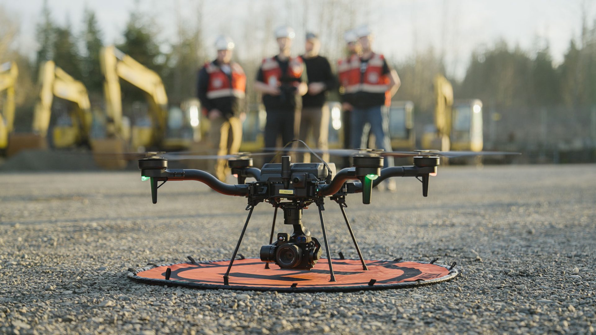
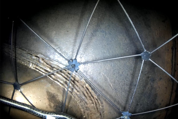
Today’s drones can be used to quickly survey mines both above and below ground. Compact drones such as the DJI Matrice 210, for example, are small enough to fly in tight spaces without access to GPS and can be fitted with multiple payload configurations including thermal cameras and infrared sensors to collect the necessary data.
The professional-grade Matrice 200 series also provides impressive flight control abilities which are an important consideration when flying in confined spaces. The Matrice 200 is easy for operators to fly and provides a stable platform for mounting expensive sensory equipment.
The data collected can be combined with digital images, surface terrain models and laser point clouds to create detailed 3D models of the mine. These models can then be used to optimize extraction, plan mining operations and process survey data.
Development and resource planning
The data collected during surveys can be used for development and resource planning initiatives, which can help improve the productivity and profitability of the mine while facilitating further expansion.
For example, mine operators can quickly survey drilling and blasting areas to ascertain rock type variation, face angles, rock condition and volume to quickly establish the profitability of a seam.
More detailed information can also be gathered, enabling engineers to calculate drill depths with incredible accuracy pre-blast. This data can then be used to create accurate estimates for yield before a single hole is drilled.
Resource planners can also use the data to allocate resources according to how much material will be produced. Trucks and manpower can all be allocated accordingly, something that was all but impossible before. For larger environments, post-blast assessments can also be made to validate pre-blast data.
Site planners can also benefit by using 3D data to plan the placement of outbuildings and processing machinery. For example, the ROM pad and stockpile locations can be laid out, reducing the amount of time wasted between the material being removed and processed.
Stockpile management
Drone technology has transformed the mundane task of stockpile management. The days of surveyors having to manually take measurements at numerous points across the stockpile are coming to an end.
By using drones, trained technicians can survey the entire site to create an accurate estimate of stock value in as little as 30 minutes. The data can then be exported to cloud-based platforms which not only calculate the amount of material on site, but help to create accurate projections based on real-time site data.
The ease of surveying stockpiles this way also allows data to be collected more regularly, helping operators to manage stockpiles more effectively and efficiently. The process also eliminates the risk of surveyors being injured whilst moving around the site.
If done correctly, using UAVs for stockpile management is reason enough in itself to introduce drones into the mine.
Improved health and safety
There is no more important task than keeping mine staff and visitors safe. Drones are great at getting to places humans can’t reach, so it makes sense to use them for safety inspections and monitoring. The high-resolution images taken can then be used by safety, planning and geology departments to help monitor activities on site.
Better yet, the data can be stored, giving operators a valuable library of images which show how the structure of the site has changed over time. For example, a weekly inspection of the ROM pad may show a weakening of the roadway which wouldn’t have been picked up if the site safety inspector wasn’t able to compare current images with previous ones.
The low cost of drones and the fact that they can go about their business without affecting other workers also allows operators to carry out more frequent safety checks. Berms, tailing dams and windrow heights can all be measured regularly to ensure compliance with regulations.
As you can see, drones have the potential to transform the way mines operate. UAVs can help mines to become more efficient, profitable and safer for employees, contractors and visitors. In fact, there is no area of mining operations which can’t be improved by using drones.
The humble UAV is now as critical for mining operations as the excavator and haul truck.
Read more of our blogs:
- COPTRZ News: Consultation on the safe use and effective regulation of drones
- Drone Business Startup: DJI Mavic Pro or DJI Phantom 4?
- Air Navigation Order (Amendment) 2018 – July Update
- How has the DJI Inspire 2 revolutionised cinematography?
Download our FREE GVC Training Guide
Learn everything you need to know about becoming a drone pilot with our GVC training guide.
- Get a full course roadmap to understand every step of the journey
- Contains clear answers to all of the frequently asked questions
- Get a transparent and comprehensive breakdown of course costs

Related Posts
Coptrz make Financial Times 1000 fastest growing businesses 2022
Drone Specialist Soars as one of Europe’s Fastest Growing Companies Coptrz identified as ‘outstanding’ among millions of European enterprises Statista observed that Coptrz had ‘Strong record of fast, organic and sustainable growth’ Certified as of one of the ‘Best Places to Work The Leeds based drone solutions company ‘Coptrz’ has been ranked as one […]
Transform Your Operations with the Parrot ANAFI Ai: Innovation That Delivers Results
The Parrot ANAFI Ai is setting new standards in the drone industry, offering advanced features tailored to meet the evolving needs of professionals across various industries. Designed to address real-world challenges, it provides unmatched performance for inspections, mapping, and data collection, empowering businesses to operate smarter and more efficiently. Why the ANAFI Ai Stands Out […]
Flyability Elios: Inspection of a Pulp & Paper Mill Tank
Pulp, which is the raw material used in the manufacture of paper, is prepared by chemically or mechanically separating cellulose fibres from wood, fibre crops or waste paper. At an industrial scale, this process is performed in large tanks that need recurrent inspections. Customer Needs One of Europe’s leading manufacturer of pulp and paper possesses […]