Drone Solutions For Public Safety & Emergency Response
Give your teams faster situational awareness, safer search operations, and aerial coverage that keeps personnel out of harm’s way.
- Deploy in under 30 seconds — delivering real-time aerial intelligence to incident command
- Thermal and zoom payloads for night operations, search & rescue, and tactical support
- FoxFury lighting for scene illumination and night operations
- SkyHero Axon Rover and Polecam systems for internal tactical operations and confined-space reconnaissance
- Internal tactical drones for situational awareness in buildings and high-risk environments
Get Your FREE Guide
How drones are being deployed across UK police, fire, and search & rescue teams — and what your organisation needs to get started.
★ 4.9 average rating from verified customers
• Comprehensive Drone Training for Operational Success
• Tailored Drone Solutions for Every Industry
• Experienced Technical Support Team










Safer Operations, Faster Response Times

Faster Incident Response
Get airborne within seconds of a call — delivering live aerial footage to incident commanders before ground units arrive.

Reduced Risk To Personnel
Deploy a drone into a scene before committing officers or firefighters — assess threat, structure, or casualty location from a safe distance.

Night & Low-Visibility Capability
Thermal sensors detect body heat in darkness, smoke, or dense vegetation. FoxFury lighting provides scene illumination for ground teams.

Internal Situational Awareness
SkyHero Axon range provides tactical awareness inside buildings, vehicles, and confined spaces where external drones cannot operate.

Evidence & Documentation
GPS-tagged footage, thermal imagery, and automated flight logs provide court-admissible evidence and full incident records.

Operational Use Cases
Tactical Firearms & Counter-Terror First — Standard Policing Second — SAR Supporting.
Below is a breakdown of how drone in public safety is applied across common use cases, including what is captured, why it matters, and what teams get out of it.

What It Is
Providing real-time aerial intelligence to armed response commanders and counter-terror teams before and during tactical interventions — including internal drone deployment for building awareness.
How It’s Used
External drones provide aerial situational awareness for AFO deployments. Internal drones such as SkyHero Axon give tactical teams a view inside buildings, vehicles, and high-risk confined environments before personnel enter.
What It Is
•
Live video feed to tactical command
•
Thermal tracking of individuals
•
Internal building reconnaissance (SkyHero Axon)
•
Geo-tagged imagery for operational planning
•
Evidence-quality footage for prosecution
What It Is
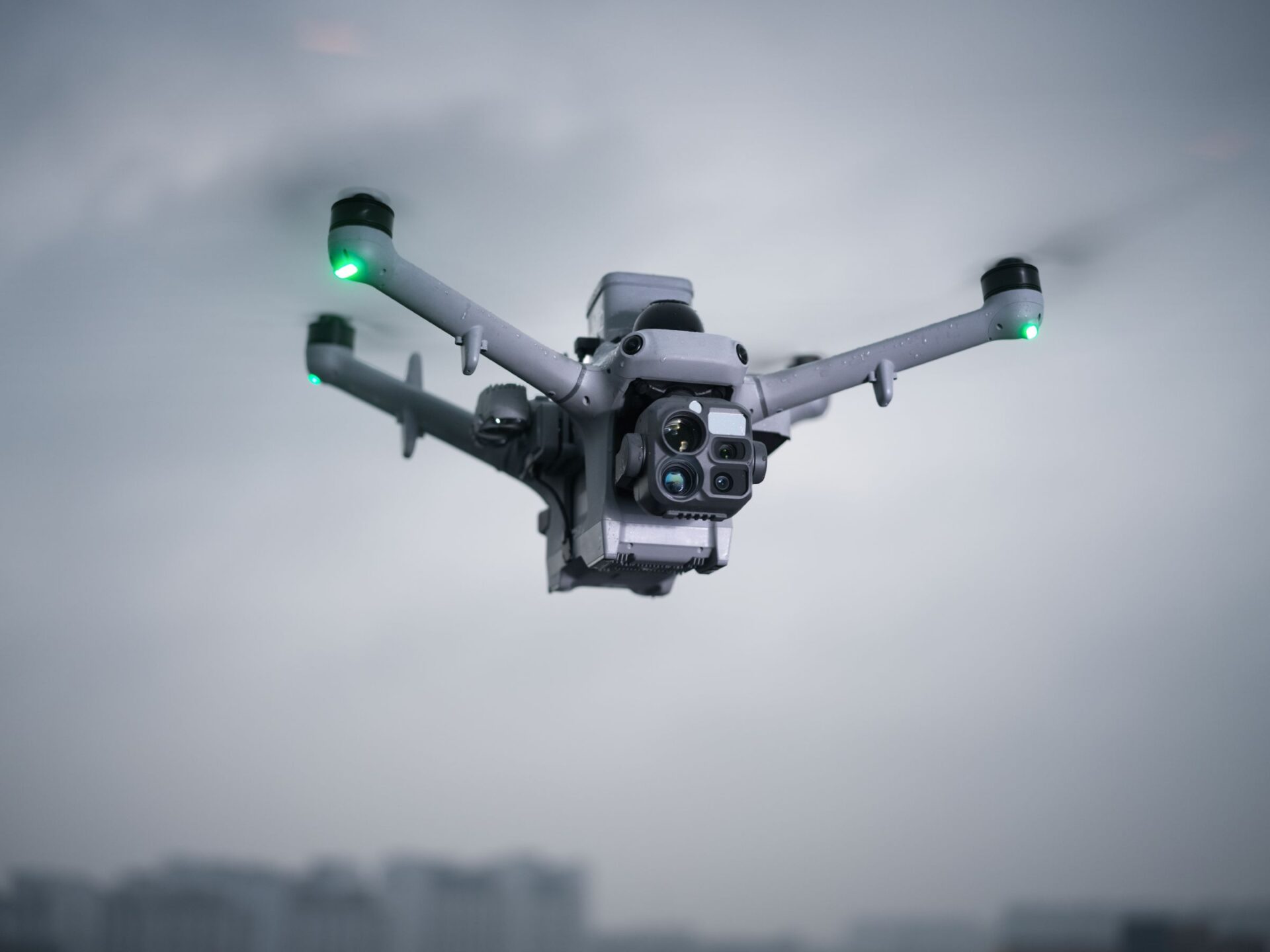
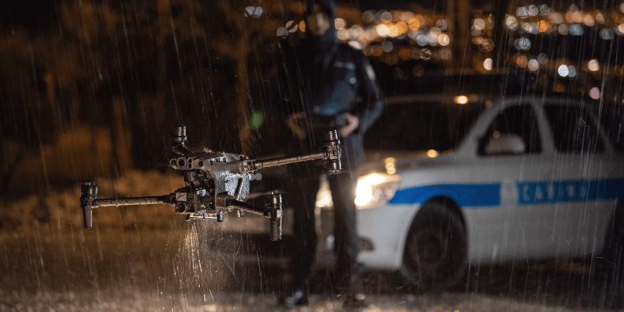
The day-to-day operational use case for most police drone teams. The DJI Matrice 4TD provides the integrated thermal, zoom, and wide capability needed for flexible patrol and response operations.
How It’s Used
Deployed by police drone teams to support standard operational activity — providing real-time aerial intelligence to officers on scene and command teams. The M4TD is the current recommended platform for general police operational use.
Typical Outputs
•
Live video feed to control room and incident commander
•
Thermal surveillance for missing persons and public order
•
Real-time intelligence for ground units
•
Incident documentation and evidence records

What It Is
Monitoring large incident cordons, public disorder events, and major scenes from altitude to maintain situational overview.
How It’s Used
Flown over incident perimeters to track movement, identify crowd flashpoints, and provide persistent aerial monitoring without committing ground units.
Typical Outputs
•
Live aerial overview footage
•
Cordon integrity monitoring
•
Incident timeline records
•
Real-time feed to Silver/Gold command

What It Is
Thermal drones detecting hotspots, mapping fire spread, assessing structural stability, and supporting larger incident intelligence gathering for fire services throughout the incident lifecycle.
How It’s Used
Deployed on arrival to identify hotspots post-knockdown. Used throughout the incident for aerial surveillance, thermal monitoring, structural assessment before re-entry, and handover support to police and partner agencies.
What It Is
•
Thermal hotspot maps
•
Structural assessment imagery
•
Large-scale incident aerial overview
•
Post-incident evidence footage
•
Aerial mapping for handover to partner agencies
What It Is
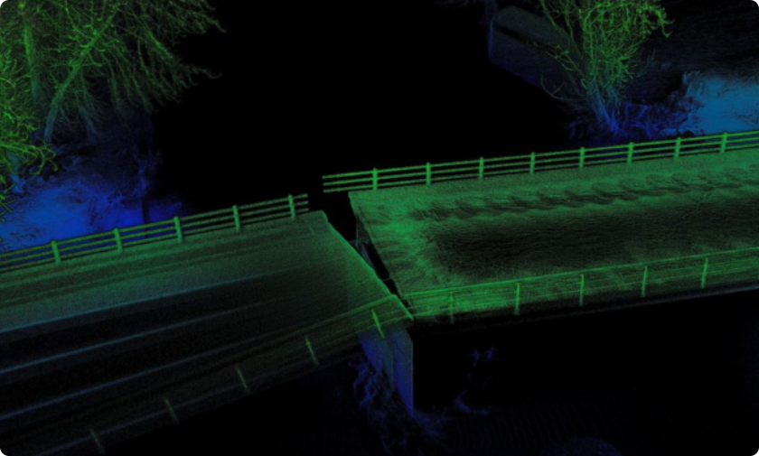
Capturing aerial photogrammetry and LiDAR data of road traffic collision scenes for accurate reconstruction, evidence preservation, and faster road reopening.
How It’s Used
Deployed by collision investigation units to capture accurate scene geometry rapidly. LiDAR data enables 3D scene reconstruction that significantly reduces road closure times versus traditional survey methods — a key operational benefit for major incident management.
What It Is
•
Orthorectified aerial imagery
•
LiDAR-based 3D scene reconstruction
•
Measured distances and scene geometry
•
Admissible photographic evidence records
•
Faster road reopening through rapid data capture
Featured Equipment For Public Safety
Public safety deployments require a breadth of capability — from large-area aerial surveillance through to tactical indoor reconnaissance. Here is the current recommended equipment range.
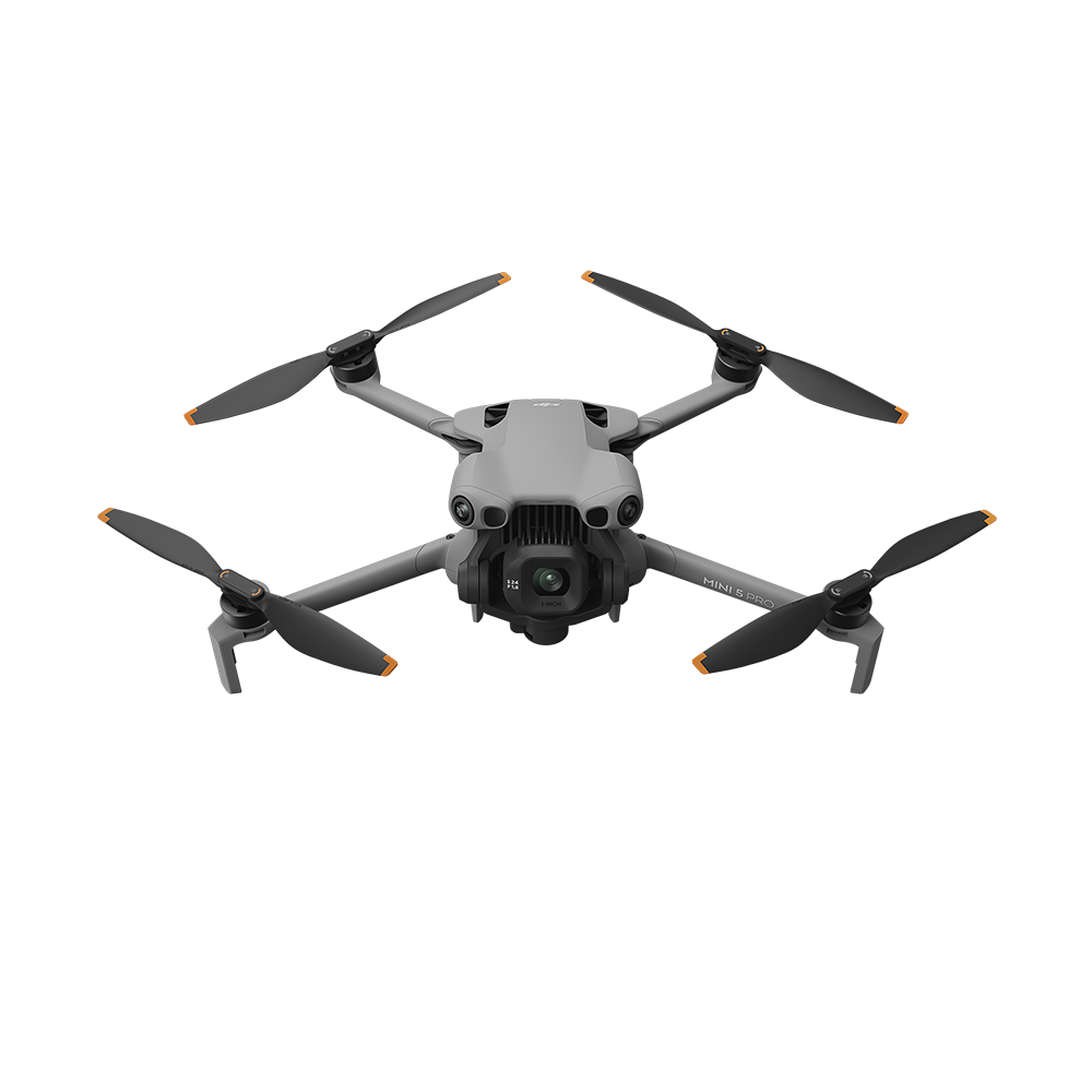
DJI Mini 5 Pro
Entry level — lowest barrier to entry for academies and analyst-led programmes.

A2 CofC friendly — analysts can operate with minimal qualification overhead
Fly as close as 5m in low speed mode for training ground coverage
Ideal for academy environments and introductory analysis programmes
Lowest total cost of ownership
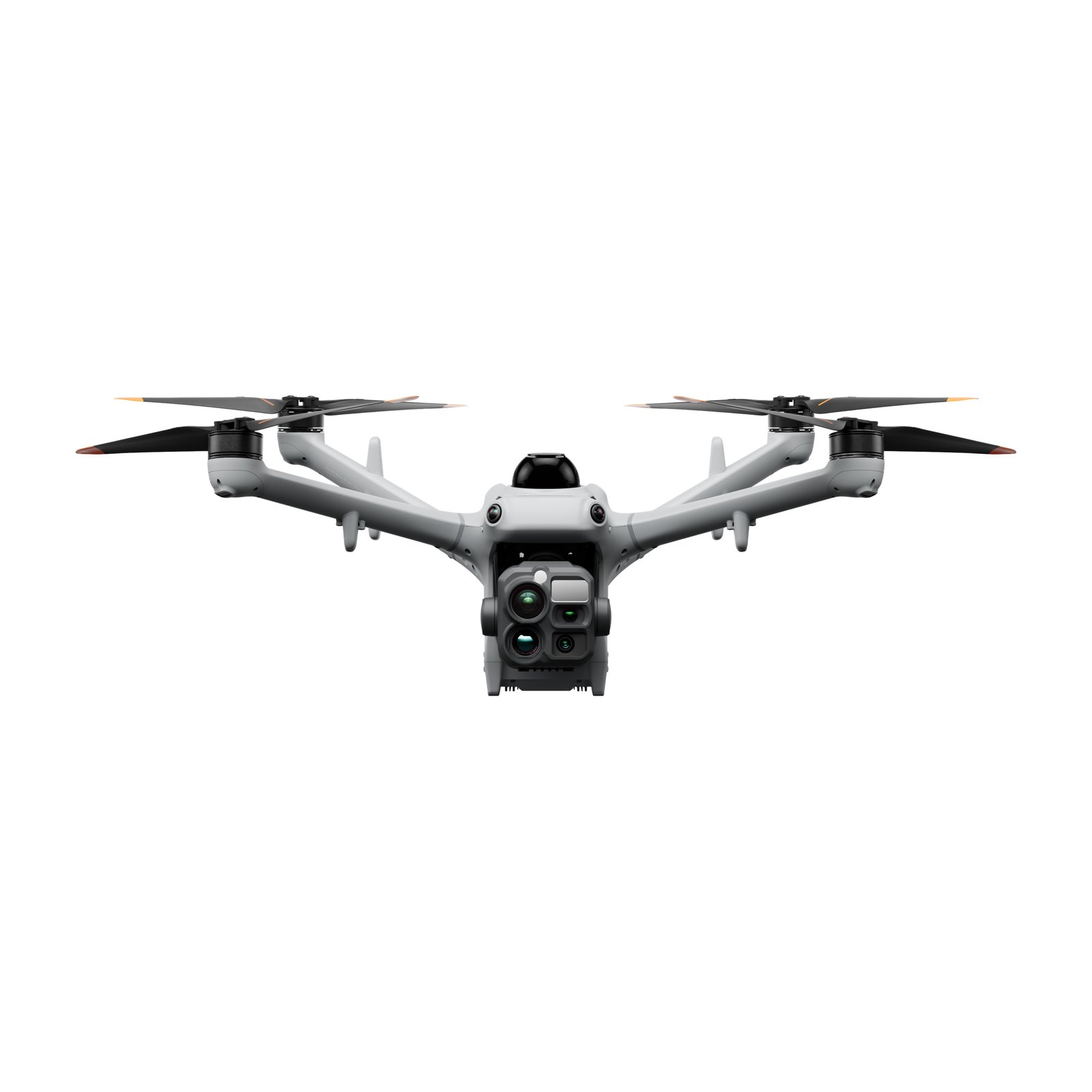
DJI Matrice 5TD
Thermal drone for DJI Dock 4 — giving public safety teams detailed aerial intelligence for searches and incident response.
Thermal imaging to support searches in darkness
Zoom cameras for detailed assessment from a distance
Live aerial views for incident commanders
Integrated radar and LiDAR for obstacle sensing
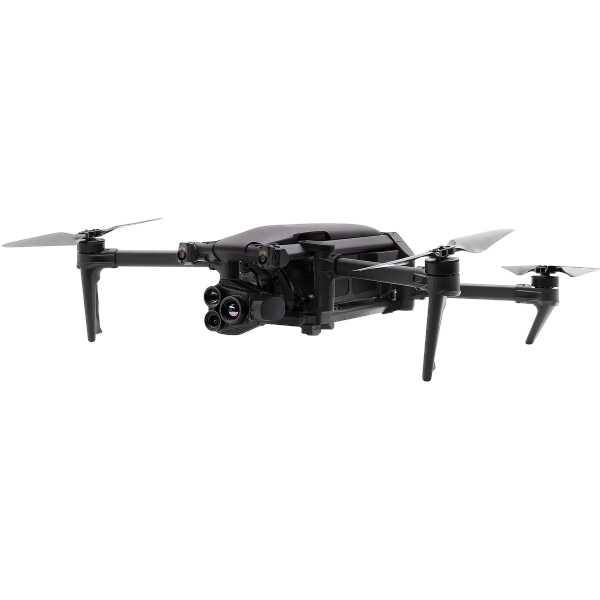
Parrot ANAFI UKR
Secure tactical drone for sensitive law enforcement deployments.
Secure data handling for sensitive operations
32x zoom with thermal option
Compact and discreet for intelligence-led operations
UK-cleared for sensitive public safety use

SkyHero Axon Range
Internal tactical drones for building reconnaissance and confined-space intelligence.
Designed for indoor, GPS-denied environments
Provides situational awareness inside buildings before personnel entry
Used by firearms and counter-terror teams for pre-entry intelligence
Axon Rover and Polecam variants for different internal environments
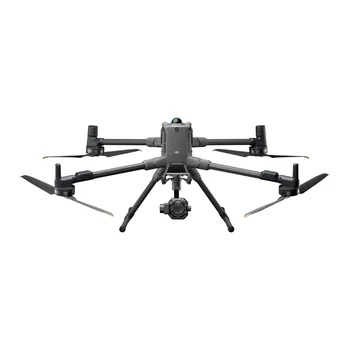
DJI Matrice 400
Enterprise platform for complex, extended, or multi-sensor deployments.
59-minute endurance for sustained operational support
Multi-payload: thermal + zoom + LiDAR + spotlight simultaneously
Suitable for major incidents, prolonged searches, and critical events
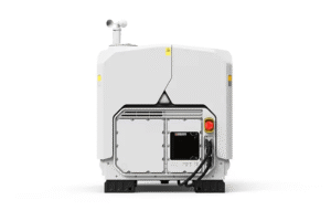
DJI Dock 4
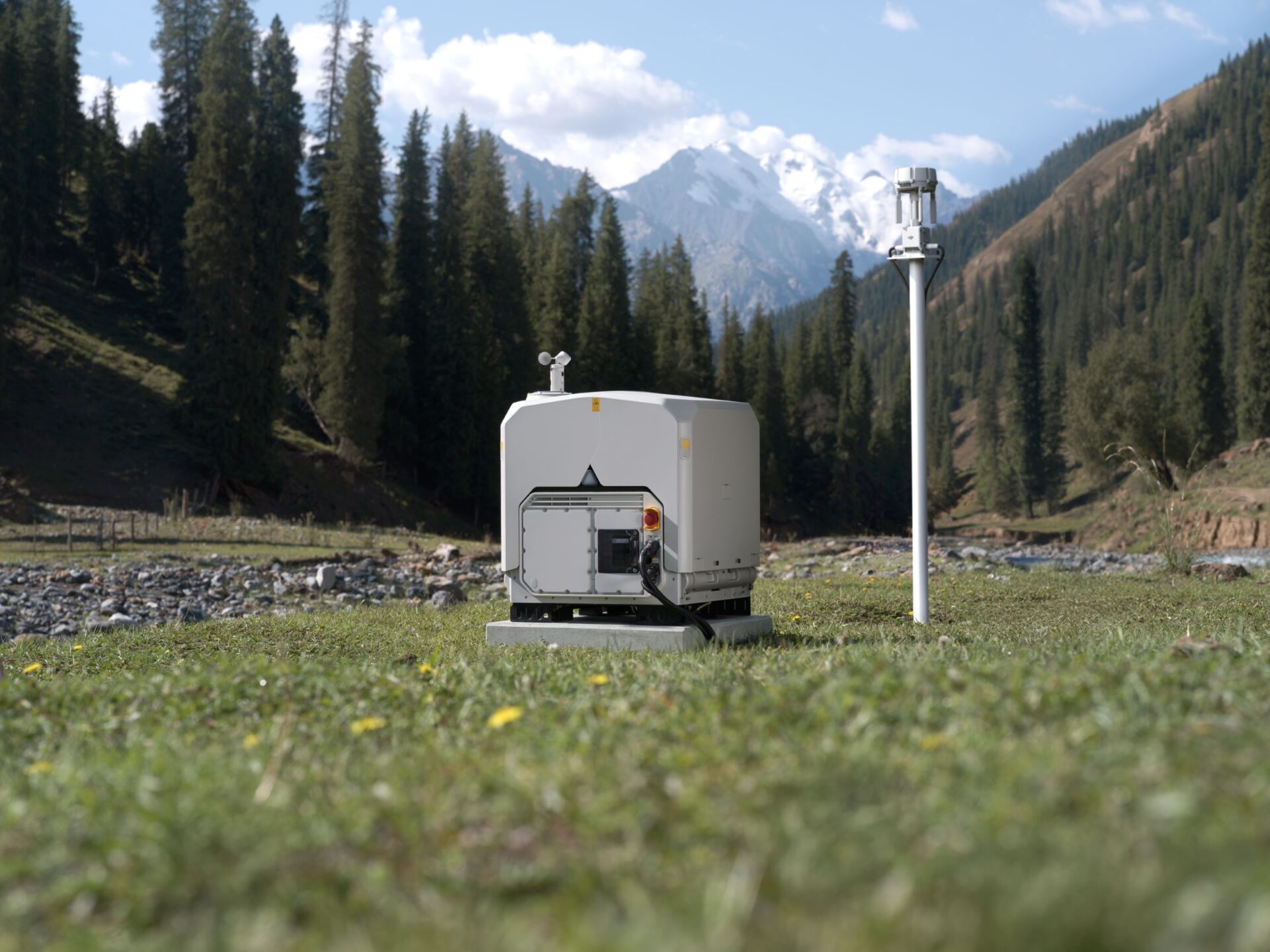
Automated drone deployment — helping emergency services launch remotely and maintain regular aerial coverage.
Remote launch for rapid incident assessment
25-second battery swapping between missions
Scheduled patrols and on-demand response
Centralised mission management through DJI FlightHub 2
Other Public Safety Drone Setups
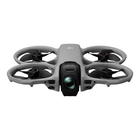
DJI Avata 360
From Dispatch To Debrief: The Four-Step Workflow
Every surveying and construction deployment follows the same structured workflow — from mission planning through to final client outputs. Here is what that looks like in practice.
1. Dispatch & Software Setup
Operator alerted simultaneously with or ahead of ground units. AirData or FlightHub 2 activated for flight logging. Equipment prepped.

Drone bag packed
Frequency coordination
AirData / FlightHub 2 flight log initiated
Initial flight path planned
2. On-Scene Intelligence
Drone airborne within seconds — live feed established to incident commander. Evidence-grade recording activated.
Live video to command
Thermal sweep initiated
GPS position logged
Flight log auto-recording active
3. Operational Support & Team Handover
Persistent aerial cover maintained throughout incident — footage recorded and streamed to Silver command. Evidence packages prepared for team handovers.
Thermal tracking
Scene documentation
Real-time tasking support
Team handover packages prepared
4. Post-Incident Review
Flight logs, footage, and imagery packaged for debrief, legal evidence, or investigation. Operational replay for team learning.
Full footage archive
GPS flight log
Thermal imagery export
Evidence chain of custody records
Tactical replay for team debrief
Outputs From Every Deployment

Standard deliverables
Live video feed — real-time aerial footage to command vehicles, control rooms, or mobile devices
Thermal imagery — radiometric data identifying heat sources: persons, vehicles, hotspots
GPS-tagged footage — recorded video with precise location metadata for evidence and debrief
3D scene models — LiDAR-based reconstruction of RTC or incident scenes for investigation
Flight logs — timestamped operational records with GPS track and incident reference
Annotated stills — geo-referenced photographs for operational planning and briefing
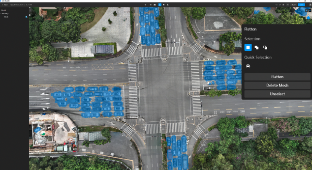
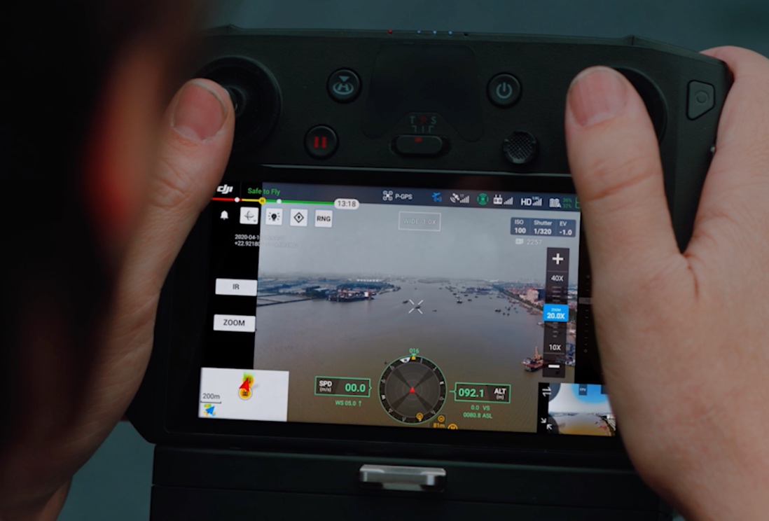
Operational value for command
Rapid escalation through chain of command — live aerial feed enables Gold and Silver to make faster decisions
Faster decision-making for entering high-risk environments — aerial assessment before personnel commit
Improved situational awareness for Silver and Gold command teams throughout the incident lifecycle
Deliverables Your Teams Can Use Immediately
Drone surveying produces a range of formats. Below is a plain-English breakdown of what each deliverable is, and which teams use it — so procurement, technical leads, and project managers all understand what they are commissioning.
Qualified For Operational Deployment
Recommended training pathways for public safety organisations
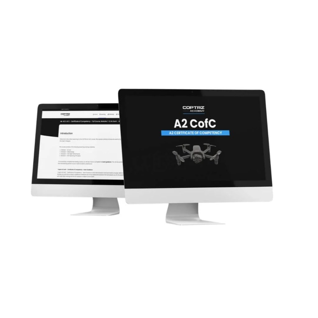
A2 CofC (Certificate Of Competency)

RPC-L1 Part A Drone Training Course (In-Person Classroom)

RPC-L1 Part A Online Drone Training

GVC To RPC-L1 Part A Conversion Drone Training Course
Keep Your Operations Running Without Downtime
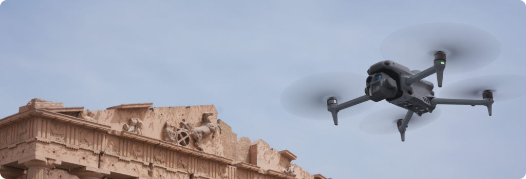
Downtime on active projects leads directly to delays and additional cost. Reliable servicing and support ensure your equipment stays operational when you need it most.
DJI Certified repairs and servicing
Priority repair pathways to minimise disruption
Ongoing maintenance and lifecycle support
UK-based technical support from experienced teams
Resources For Emergency Services Drone Programmes
These resources help you validate decisions, reduce internal friction, and build a strong business case for drone deployment.
Guides & Training Resources

Parrot ANAFI UKR Product Guide

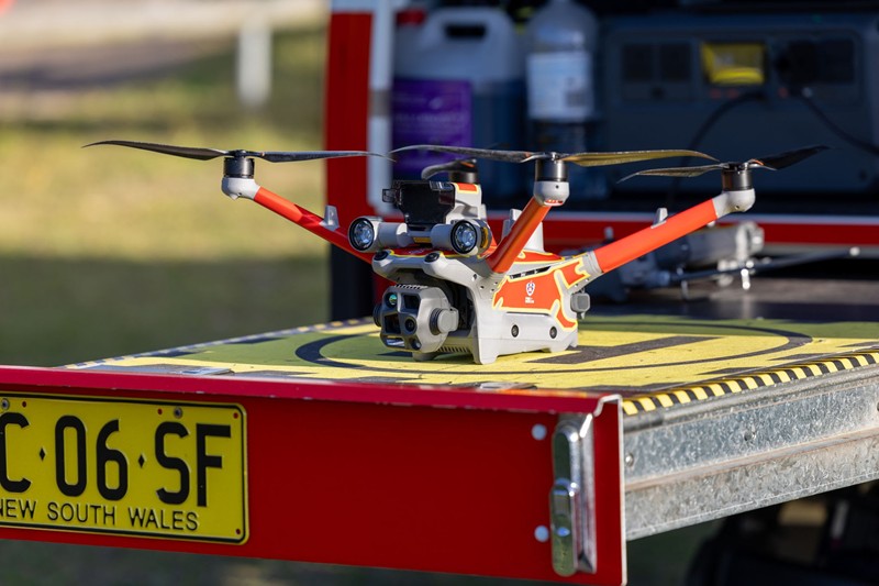
Elevating Public Safety: How Drones Are Transforming Emergency Response
Search & Rescue Operations
Missing Persons, Wilderness Search, Urban SAR

What It Is
Using thermal and high-zoom cameras to locate missing persons across large areas rapidly — including in darkness, woodland, and built environments.
How It’s Used
Deployed once a search area is defined — drones cover ground faster than foot search teams and detect heat signatures where visual searching is impossible.
Typical Outputs
•
Thermal imagery showing heat signatures
•
GPS coordinates of located persons
•
Live video stream to incident command
•
Recorded footage for debrief
Key Benefits
•
Faster coverage of large or difficult-to-access areas
•
Reduced risk to search teams operating in hazardous environments
•
Real-time situational awareness for incident commanders
•
Greater accuracy when identifying and locating missing persons
Proven Results In Real-World Projects
Public Safety
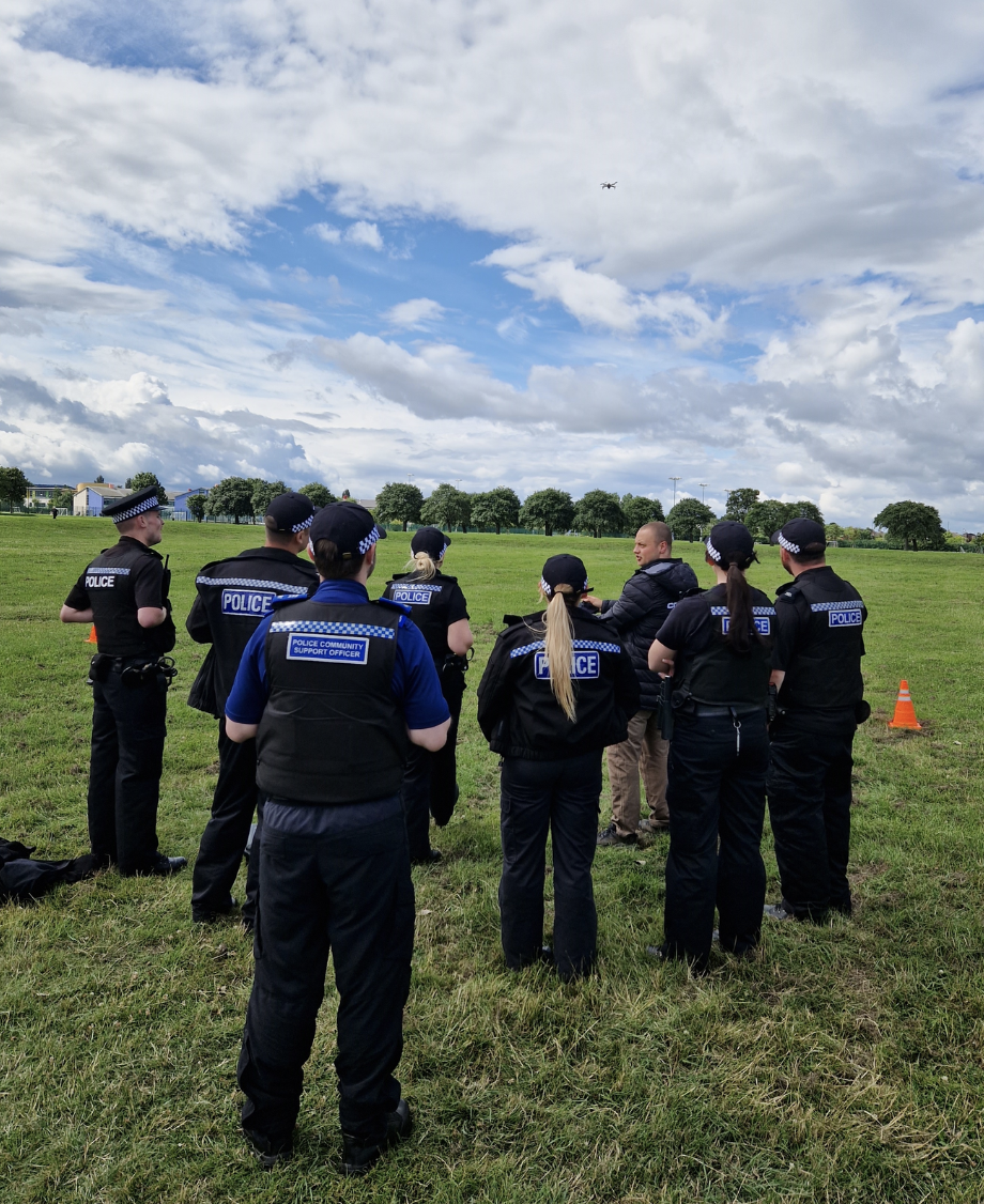
Cleveland Police Drone Servicing
Cleveland Police
A progressive police force, significantly increased the operational efficiency of their 13-drone fleet by reducing downtime with Coptrz’s On-Site Drone Servicing
Public Safety
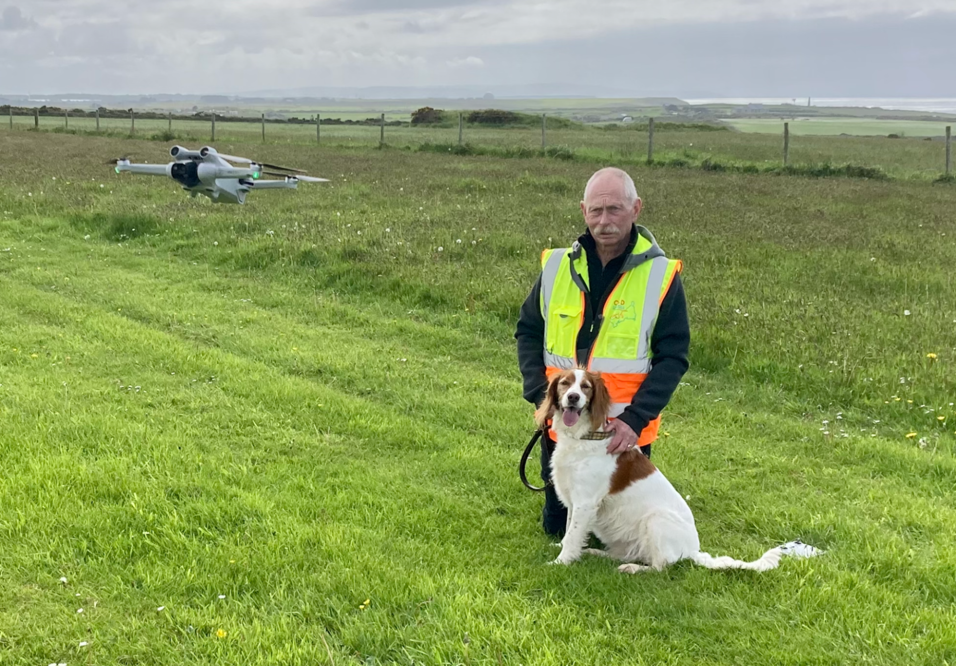
Cornwall Search Dogs
DogLost Cornwall
Cornwall Search Dogs is a dedicated organisation primarily consisting of ex-police and search and rescue professionals.
Public Safety
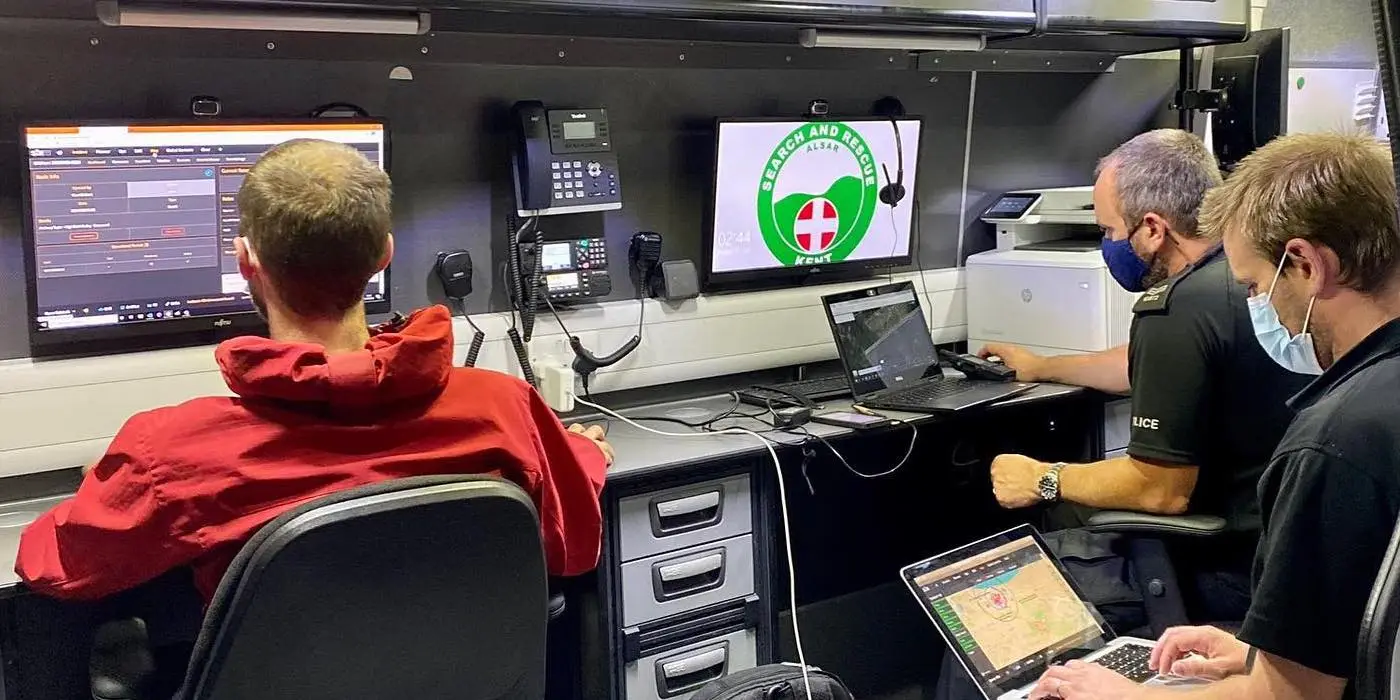
Kent Search and Rescue
Kent Search and Rescue
By integrating advanced drone technology, they have significantly improved their operational capabilities, providing unparalleled situational awareness and efficiency.
Trusted Where Failure Is Not An Option

Nick Canham
Duncan Turner
Adam Carter
Emily B.

Partners & Clients
Why Coptrz For Public Safety?
Confidence In Every Step Of Your Programme
Coptrz has spent over a decade supporting commercial drone operations across the UK, helping businesses streamline workflows, improve accuracy, and reduce risk. That experience informs how we recommend, deploy, and support drone systems for the public safety and emergency response sectors.
Our Key Benefits
Trusted by UK police, fire, and emergency services organisations
Specialists in tactical analysis, armed response support, and operational deployment
SkyHero Axon internal drone capability for confined space and building reconnaissance
FoxFury lighting and specialist scene illumination equipment
End-to-end support covering hardware, software, training, and compliance
Bespoke force-specific training and operational consultancy
Over a decade of commercial drone operations experience across public safety
Frequently Asked Questions
The DJI Matrice 4TD is the current recommended platform for general police operational use — offering integrated thermal, 48x zoom, and wide-angle camera in a single unit that deploys in under 30 seconds.
Internal tactical drones such as the SkyHero Axon range provide situational awareness inside buildings, vehicles, and confined spaces before personnel enter — used by firearms teams, counter-terror units, and specialist search teams for pre-entry reconnaissance.
Most forces operate under a GVC or RPC-L1 with a force-specific Operational Authorisation. A2 CofC is suitable for basic Open Category operations. For advanced, tactical, or automated operations, RPC-L1 and SORA support are recommended. Coptrz delivers bespoke force-specific training.
Yes. The DJI Matrice 400 with appropriate LiDAR payload can generate 3D point cloud data from RTC scenes — enabling accurate scene reconstruction and significantly reducing road closure times compared to traditional survey methods.
The Parrot ANAFI UKR is a security-cleared drone designed for sensitive law enforcement and government deployments where data security is a primary concern. It offers 32x zoom and thermal options in a compact form factor.
Book Your FREE Online Consultation
Experience the unique advantage of our 360° drone solutions exclusively at Coptrz. With a network of over 20 partnerships with top-tier drone technology manufacturers, we’re uniquely positioned to provide a tailored solution that you won’t find elsewhere.
Accreditations
Recognised for excellence. Explore the industry certifications that validate our commitment to quality, compliance, and continuous improvement.

ISO 9001 Certified
Certified quality management systems for consistent service and customer satisfaction.

ISO 14001 Certified
Internationally recognised standard for environmental management and commitment to sustainable operations.

Cyber Essentials & Cyber Essential Plus
Government-backed certification demonstrating the highest level of commitment to robust cyber security.

The Equality Register Member
Committed to promoting equality, diversity, and inclusive practices across our entire organisation.

TQUK Recognised Centre
An officially recognised centre for Training Qualifications UK, delivering high-standard regulated qualifications

Registered with Elcas
Approved by the Enhanced Learning Credits Administration Service to provide funded training for Armed Forces personnel.

UK CAA Recognised Assessment Entity: RAE15510
CAA-approved to deliver drone training and assessment for RPC-L1, GVC and A2 CofC qualifications.

FCA Registered
Authorised and regulated by the FCA for consumer finance activities.
UK SORA & BVLOS Operations: SORA-28947, SORA-29134
Helping organisations obtain Operational Authorisations for BVLOS and other complex drone operations using the UK SORA framework.

Ofqual Regulated Training
Delivering prestigious, government-regulated training programmes that guarantee educational excellence and industry recognition.