950
m
Detection Range
3
cm
Vertical Accuracy at 120m
100
MP
Dual RGB Mapping Cameras
16
Returns Per Pulse
100
Km2
Operating Temperature
Two Models.
Built For Every Mission.
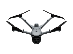
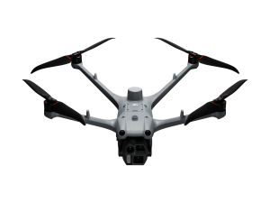
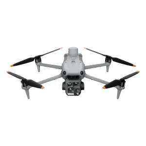
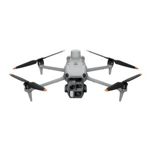
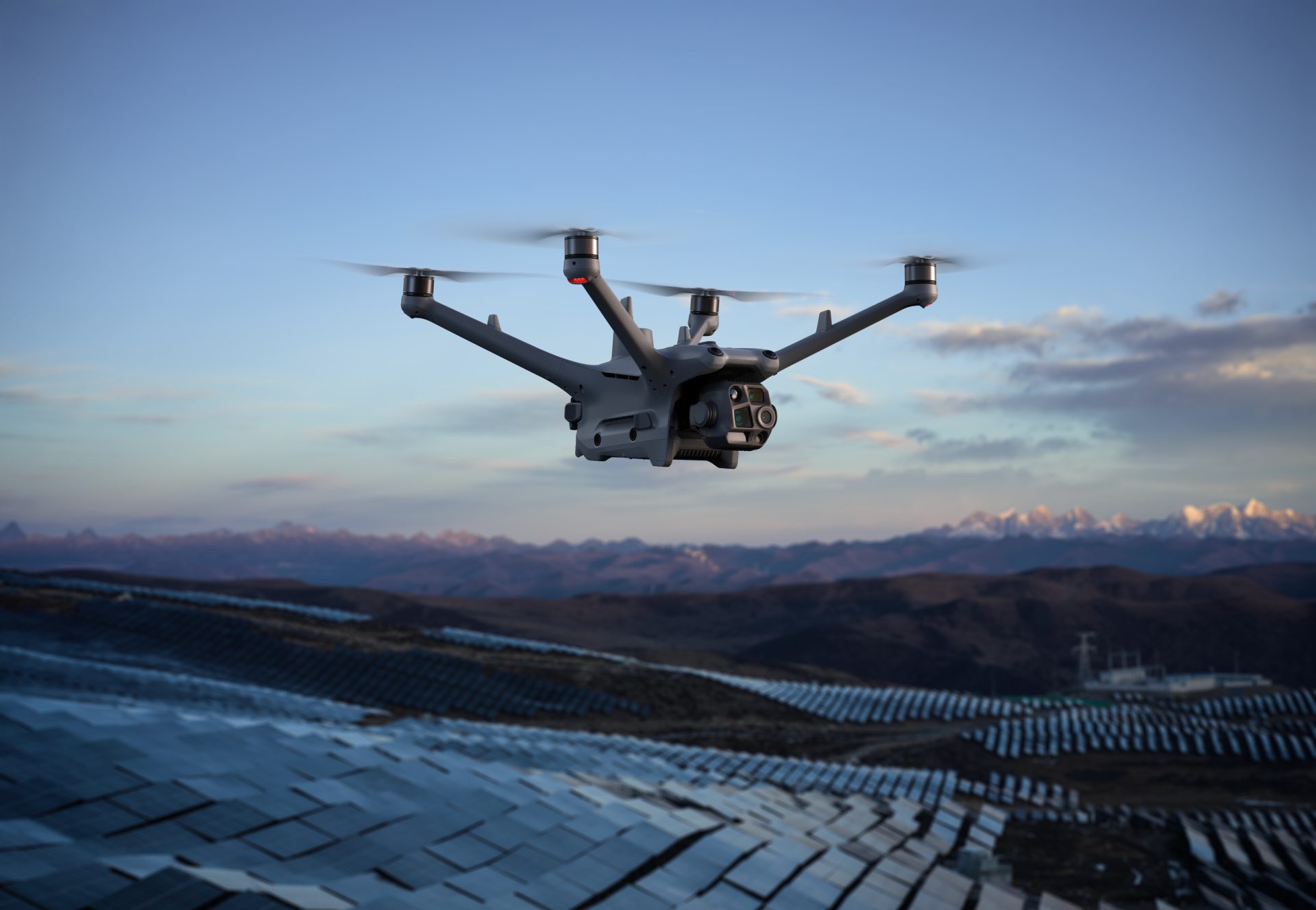
The DJI Matrice 4 Series gives enterprise teams a compact, intelligent drone platform for demanding aerial operations. With the Matrice 4T designed for inspection, public safety and emergency response, and the Matrice 4E built for surveying, mapping and construction, the series gives professionals the tools to capture better data, work more efficiently and operate with confidence.

Matrice 4T vs Matrice 4E
| Feature | DJI MATRICE 4T | DJI MATRICE 4E |
|---|---|---|
| Wide-Angle Camera | 1/1.3โ CMOS, 48MP effective pixels, f/1.7 aperture, 24mm equivalent focal length | 4/3 CMOS, 20MP effective pixels, f/2.8โf/11 aperture, 24mm equivalent focal length, mechanical shutter |
| Medium Tele Camera | 1/1.3โ CMOS, 48MP effective pixels, f/2.8 aperture, 70mm equivalent focal length | 1/1.3โ CMOS, 48MP effective pixels, f/2.8 aperture, 70mm equivalent focal length |
| Tele Camera | 1/1.5โ CMOS, 48MP effective pixels, f/2.8 aperture, 168mm equivalent focal length | 1/1.5โ CMOS, 48MP effective pixels, f/2.8 aperture, 168mm equivalent focal length |
| Laser Range Finder | Up to 1800m measurement range, 600m oblique incidence range, 1m blind zone, ยฑ(0.2 + 0.0015 ร D) accuracy | Up to 1800m measurement range, 600m oblique incidence range, 1m blind zone, ยฑ(0.2 + 0.0015 ร D) accuracy |
| Infrared Thermal Camera | 640 ร 512 resolution, f/1.0 aperture, 53mm equivalent focal length, uncooled VOx microbolometer, high-res mode supported | |
| NIR Auxiliary Light | 6ยฐ field of view with illumination up to 100m |
Engineered for Every Mission
Whether you're inspecting infrastructure, responding to emergencies or capturing survey data, the Matrice 4 Series combines intelligent automation, advanced imaging and enhanced flight performance to help you work faster, safer and with greater confidence.
AI-Powered Mission Automation

Exceptional Low-Light Performance

112ร Hybrid Zoom
High-Precision Mapping

Expandable
Accessory Ecosystem

Advanced Flight Safety
AI-Powered Mission Intelligence
Efficient Flight, Smarter Operations
Optimised For Low-Light Operations
Exceptional Clarity. Precision In Every Detail
Enhanced Medium Tele Camera
The Matrice 4 Series features a dedicated medium tele camera, extending its capabilities for medium-range inspection tasks. During power line, bridge and infrastructure inspections, it can identify screws, cracks and other defects from distances of up to 10 metres, while clearly capturing instrument readings at substations and similar assets.
48MP Super Resolution Telephoto
The upgraded 48MP tele camera delivers exceptional image clarity, capturing fine details on distant structures from up to 250 metres away. On the Matrice 4T, an integrated IR-Cut filter further enhances imaging performance, enabling reliable operation in both daylight and low-light conditions.
Telephoto Image Stabilisation
Enhanced telephoto stabilisation keeps foreground subjects sharp and steady when shooting at 10ร zoom and beyond. This provides greater image stability during inspections, public safety operations and infrastructure surveys, ensuring critical details remain clearly visible.
Intelligent Electronic Dehazing
Electronic Dehazing improves image quality in challenging conditions such as haze, mist and atmospheric humidity. With Low, Medium and High operating modes, pilots can optimise image clarity to suit changing environments and maintain consistent visual performance throughout every mission.
High Speed Mapping with Survey-Grade Precision
The Matrice 4E wide-angle camera supports rapid image capture with 0.5-second interval shooting in both orthophoto and oblique photography modes, enabling efficient aerial surveying from multiple perspectives. Combined with mapping speeds of up to 21 m/s, it allows survey teams to cover larger areas more quickly while maintaining the accuracy required for professional mapping workflows.
Multi-Angle Capture, Greater Survey Efficiency
5-Directional Oblique Imaging
The Matrice 4 Series supports five-directional oblique capture, with the gimbal automatically rotating to collect imagery from multiple angles according to the survey area. This allows several perspectives to be captured within a single flight, improving efficiency for small-scale oblique photogrammetry and reducing the need for repeated passes.

3-Directional Orthographic Capture
The Matrice 4E supports three-directional ortho capture, collecting lateral imagery during standard orthophoto missions to reduce side overlap. A single flight can map an area of up to 2.8 kmยฒ, while removing the need for an additional elevation-optimisation route. When used with the latest DJI Terra capabilities, this helps improve reconstruction efficiency without compromising output quality.
Smart 3D Capture. Precision Modelling.
DJI Matrice 4E supports Smart 3D Capture, allowing operators to generate a rough 3D model directly on the remote controller during flight. Using this initial model, the system can intelligently create precise mapping routes that closely follow the surface of complex structures, making it easier to carry out detailed measurements and model irregular buildings. Virtual flight routes and waypoint imagery are also displayed, enabling operators to review route safety and verify survey coverage before completing the mission.
Automated 3D Exploration And Modelling.
When paired with DJI Manifold 3, the Matrice 4E unlocks Smart 3D Explore for advanced modelling workflows. Using Manifold 3โs high-performance onboard computing, the system automatically plans safe flight paths around complex structures while generating a rough 3D model that can be viewed in real time on the remote controller. This streamlines close-range photogrammetry, reduces manual route planning and improves overall modelling efficiency.
Advanced Distortion Correction
Distortion Correction 2.0 delivers highly accurate in-camera lens correction with residual distortion of less than 2 pixels. Every Matrice 4E wide-angle camera is factory calibrated and, when paired with DJI Terra, provides enhanced reconstruction accuracy for professional mapping and surveying applications.
Automated Survey Quality Reporting
Once a mission is complete, DJI Pilot 2 can automatically generate a comprehensive survey quality report. Operators can quickly review photo points, RTK status and image capture parameters, allowing any coverage gaps or anomalies to be identified and additional images captured on-site, helping to avoid unnecessary return visits.
Advanced Flight Safety for Complex Operations
Long-Range O4 Enterprise Transmission
The O4 Enterprise video transmission system is built for reliable performance in challenging environments. With an eight-antenna system on the Matrice 4 Series and a high-gain antenna integrated into the remote controller, transmission distances of up to 25 km are supported. A download bandwidth of up to 20 MB/s delivers more than double the bitrate of the Mavic 3 Enterprise Series, helping maintain stable, high-quality image transmission for route uploads and media downloads.
The Matrice 4 Series also supports the optional DJI Cellular Dongle 2, combining 4G image transmission with the aircraftโs antenna system to further strengthen signal stability.
Terrain-Aware Guidance and Obstacle Avoidance
When the DJI RC Plus 2 Enterprise is connected to the internet, operators can load terrain elevation data and preload detailed maps to support automatic path planning and obstacle avoidance. This is particularly valuable for night operations and flights through mountainous terrain. A five-directional Vision Assist system, combined with downward vision, provides broader situational awareness and enhanced protection throughout the flight.
Fusion Positioning and Reliable Return-to-Home
The Matrice 4 Series features an integrated DJI RTK module with support for the extended L5 frequency band, alongside a GNSS and Vision Fusion Positioning and Navigation System. Visual positioning can update the return-to-home point and enable rapid take-off in as little as 15 seconds. Even where GNSS signals are unavailable, the aircraft can still complete the return-to-home process, helping overcome signal blockage and interference in dense urban environments.
Expanded Accessories. Greater Capability.
D-RTK 3 Precision Positioning Station
The D-RTK 3 Multifunctional Station can operate as a base station, delivering centimetre-level positioning data to multiple drones at the same time. In relay station mode, it can also help extend operational range. Its Rover Station Mode works with the DJI Enterprise app and DJI Terra to support accurate, end-to-end aerial surveying workflows with improved positioning reliability.

DJI RC Plus 2 Enterprise Controller
The DJI RC Plus 2 Enterprise features a high-brightness display designed to remain visible in direct sunlight. With an IP54 protection rating and an operating range of -20ยฐC to 50ยฐC, it is built for demanding field conditions. Its integrated high-gain antenna array supports O4 Enterprise and hybrid O4 Enterprise and 4G transmission, helping maintain stable video feeds in urban, mountainous and other signal-challenging environments.

DJI Cellular Dongle 2 Connectivity
The DJI Cellular Dongle 2 adds 4G video transmission and works alongside the O4 Enterprise transmission system to improve connection resilience during complex operations. It also provides mobile network connectivity for the remote controller, supporting more reliable communications in the field.

DJI Power 2000 Portable Power Station
DJI Power 2000 supports up to 200W fast charging for Matrice 4 Series intelligent batteries, charging a single battery in approximately 48 minutes. It also delivers up to 3000W AC output for reliable power during outdoor deployments. When paired with the DJI Power 1kW Car Charger, it supports 1kW fast charging, helping teams maintain continuous operations between locations.
Enterprise Software Ecosystem
Open Developer Ecosystem
Privacy & Data Protection
When flying drones equipped with cameras or listening devices, operators must comply with privacy and data protection law. It is not simply a case of avoiding photos without consent.
Payload SDK
E-Port and E-Port Lite encryption authentication provide secure payload integration, allowing trusted third-party hardware to be connected while expanding the Matrice 4 Series for a broader range of enterprise applications.
Mobile SDK (MSDK)
Mobile SDK 5 simplifies application development for the Matrice 4 Series. Fully open source and supplied with production-ready DJI Pilot 2 code samples, it enables developers to build reliable custom applications with greater efficiency.
Cloud API Integration
Using the built-in MQTT-based Cloud API within DJI Pilot 2, organisations can connect the Matrice 4 Series directly to third-party cloud platforms. This provides access to aircraft telemetry, live video streams and image data without the need to develop a dedicated mobile application.
DJI Terra API
The DJI Terra API enables developers to integrate advanced mapping and reconstruction capabilities directly into their own software platforms. Custom photogrammetry workflows can be created to automate 2D and 3D reconstruction processes, helping tailor Matrice 4E outputs to specific industry requirements.
Frequently Asked Questions
Answers to common questions about payloads, flight time, software,
compatibility and choosing the right enterprise drone platform.
The DJI Matrice 4 Series includes two models designed for different enterprise applications. The Matrice 4T is built for inspection, public safety, emergency response and utility operations, combining thermal imaging, laser range finding and multi-sensor payloads to support complex missions in any lighting conditions. The Matrice 4E is optimised for surveying, mapping and construction, featuring a mechanical shutter, high-speed image capture and intelligent photogrammetry tools for accurate data collection. If you're unsure which model best suits your workflow, the Coptrz team can help you choose the right aircraft, software and accessories for your operational requirements.
Trusted Where Failure Is Not An Option
Nick Canham
Duncan Turner
Adam Carter
Partners & Clients


Need Help Choosing the Right Matrice 4 Solution?
Whether you're investing in the Matrice 4T for inspection and public safety or the Matrice 4E for surveying and mapping, our enterprise drone specialists can help you build the right solution. From aircraft and accessories to software, training, servicing and ongoing support, we'll ensure your team gets the most from every mission.